The best scenic drives around Branson trade the 76 Strip for ridgelines, lake water, and mile after mile of Ozark hardwoods. You can loop past Table Rock Dam in under half an hour, follow Route 86 toward Dogwood Canyon, or climb the gravel ridge tops of the Glade Top Trail about an hour south. This guide maps the routes worth the gas, the overlooks that pay off, and when the fall color is at its best.
Whether you have a free afternoon or a full day, there is a route to match. The drives below range from an easy eight-mile lake loop to a half-day ridge-top byway, and most pass a park or overlook where you can stop, stretch, and take in the view. Read on for the routes, the timing, and a few practical tips before you go.

Scenic Drives Around Branson — At a Glance
Easiest drive: Highway 165 lake loop — about 8.4 miles, minutes from downtown.
Best hill-country views: Route 86 east toward Dogwood Canyon.
Best fall drive: Glade Top Trail — 23-mile gravel byway, about an hour south near Ava.
Quickest big view: Shepherd of the Hills Inspiration Tower.
Peak fall color: mid-October into early November.
Home base: a central Branson Premier rental near the lake corridor.
What is the easiest scenic drive from Branson?
The Highway 165 lake loop is the easiest scenic drive from Branson, and it starts just minutes from downtown. The route runs along the west side of town, crosses between Table Rock Lake and Lake Taneycomo, and covers only about 8.4 miles end to end. That makes it an ideal first taste of Ozark scenery when you have an hour and a full tank.
The signature stop is the Table Rock Dam Overlook, where the dam separates the two lakes. Visitors describe the reflections at sunrise and sunset as the best reason to time the drive for golden hour. A short detour lands you at Table Rock State Park, the natural base camp for the whole lake area.
From the park you can stretch your legs on the paved Table Rock Lakeshore Trail before driving on. For a higher vantage point, follow the signs toward Point Lookout near College of the Ozarks, a quieter overlook above the White River Valley that rarely draws a crowd.
Table Rock State Park
⭐ 4.7 / 5 · 4,553 Google reviews · verified Oct 2026
The natural base camp for the Highway 165 lake loop, with a marina, paved and mountain-bike trails, lakeshore picnic sites, and the nearby Table Rock Dam Overlook. Reviewers point to the dam reflections at sunrise and sunset as a highlight.
Which drive has the best Ozark hill-country views?
For rolling hill-country views, point the car toward Missouri Route 86. The highway runs about 110 miles across southwest Missouri, but the stretch that matters for a Branson day trip is the eastern end, where the road threads between the Arkansas line and the south shore of Table Rock Lake inside the Mark Twain National Forest.
This section delivers dense forest, sweeping ridgelines, and glimpses of the Long Creek arm of the lake. A new bridge over Long Creek opened in December 2024, replacing a 1956 span, so the crossing is smoother than it used to be. Drivers often pair this route with the Table Rock Lake overlooks for a half-day of water-and-woods scenery.
Route 86 also delivers you almost to the gate of Dogwood Canyon Nature Park at Lampe, one of the most photographed spots in the region. The park’s towering bluffs, waterfalls, and handcrafted bridges make it a natural turnaround point before you head back toward Branson.

Dogwood Canyon Nature Park
⭐ 4.7 / 5 · 5,552 Google reviews · verified Oct 2026
Towering bluffs, waterfalls, and handcrafted bridges sit right off Route 86 at Lampe. Guests describe the clear streams and the historic Dogwood Mill as the scenic payoff at the end of the drive. Admission applies for trails, biking, and tram tours.
What is the most scenic fall drive near Branson?
The Glade Top Trail is the most celebrated fall drive in the region, and it is Missouri’s only National Forest Scenic Byway. The 23-mile route sits in the Mark Twain National Forest near Ava, roughly an hour south of Branson, with the most popular access point about 20 minutes south of town.
This one is a two-lane, all-weather gravel road built by the Civilian Conservation Corps in the late 1930s, so plan for a slower pace and a few cattle guards. The reward is a ridge-top ride some 500 feet above the surrounding country, with pull-offs at stops like Smoke Tree Scene, Arkansas View, and Caney Day Use Area. On a clear day the Forest Service notes the views reach the Springfield Plateau about 20 miles northwest and the Boston Mountains in Arkansas about 40 miles south.
The byway has anchored Ava’s Flaming Fall Revue, a foliage celebration that dates to 1961, every autumn. Because the exact date shifts year to year, confirm this season’s schedule with the Ava Chamber of Commerce before you plan around it. Most cars, including sedans, handle the road fine in dry weather, though the Forest Service suggests higher clearance for side roads.
Where can you find the best overlooks without a long drive?
If you want big views without leaving Branson, a cluster of overlooks sits within a few minutes of the 76 corridor. The 230-foot Shepherd of the Hills Inspiration Tower, billed as the highest point in southwest Missouri, caps the list with a sweeping look across the Ozark hills.
Closer to the lakes, the Ruth and Paul Henning Conservation Area protects about 1,500 acres and includes a lookout tower with a 360-degree view. The nearby Lakeside Forest Wilderness Area packs trails, caves, and bluff-top views of Lake Taneycomo into roughly 140 acres. Each one turns a short detour into a genuine scenic payoff.
These stops also pair well with the driving routes above. Many visitors chain a morning on the Highway 165 loop with an afternoon climb up Inspiration Tower, then save the longer Route 86 or Glade Top runs for a full day. Stacking a short overlook with a longer route is the easiest way to get the most out of the scenic drives around Branson in a single trip.
Shepherd of the Hills Inspiration Tower
Google rating: [PUBLISHER: read the current star rating and review count from the Google Business Profile and type them here] (verified [DATE])
A 230-foot tower billed as the highest point in southwest Missouri, with a sweeping 360-degree look across the Ozark hills. It sits off the 76 corridor and makes a quick big-view stop between longer drives.
When do fall colors peak in the Branson Ozarks?
Fall color in the Branson Ozarks usually peaks from mid-October into early November, when the maples, oaks, and hickories turn their most vivid. The first hints arrive in early to mid-September as sumac and sassafras change, and by mid-November many trees have already dropped their leaves. Mid-October is the safe target for a scenic drive built around color.
Timing still varies year to year with rainfall and temperature, so it pays to check a current foliage report before a long drive. Our guide to Ozark fall colors tracks the season, and the photography and Instagram spots guide points you to the best pull-offs for a photo.
Low-angle light early and late in the day makes the colors glow and cuts glare off the water. That is another reason the locals favor a sunrise run along the Highway 165 loop or a late-afternoon climb for the overlooks.
How do you plan a scenic drive day around Branson?
A little planning turns a good drive into a great one. Fuel up before you leave town, because stations thin out fast on Route 86 and all but disappear along the Glade Top Trail. Pack water and snacks, and download your route offline, since cell service drops in the national forest.
Start early for the best light and the fewest cars, and build in time to actually stop at the overlooks rather than racing through. On gravel stretches like the Glade Top Trail, slow down for blind curves and cattle guards, and skip the route after heavy rain if your vehicle sits low. Where hours or seasonal access matter, such as a park gate or a nature center, call ahead to confirm before you point the car that way.
Finally, pair your drive with a short trail. Our roundup of the best hiking trails near Branson lines up easy walks and bigger treks you can fold into the same loop, so the scenery keeps going after you park. A picnic lunch at an overlook or a lakeside pull-off turns the day from a quick spin into a relaxed outing the whole group remembers. These routes are just one slice of the area’s outdoor activities in Branson, from lake days to Ozark trails.
Where should you stay for Ozark road trips?
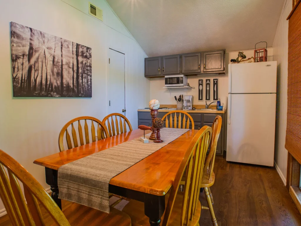
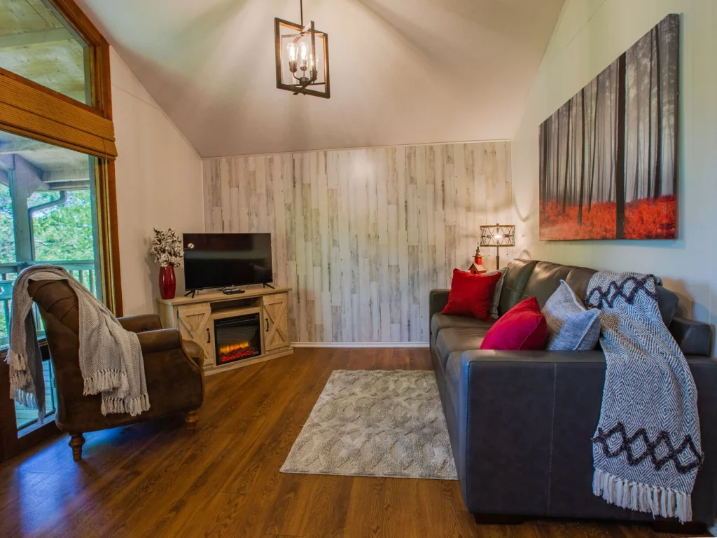
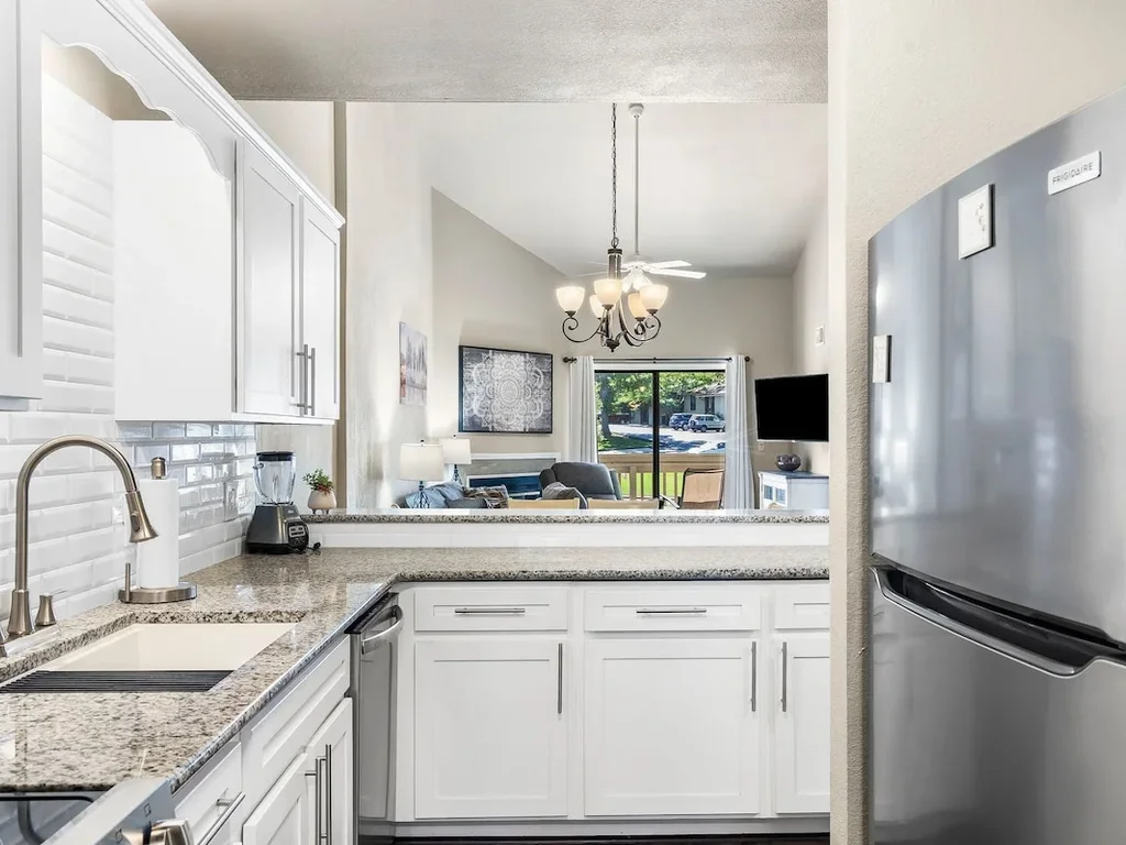
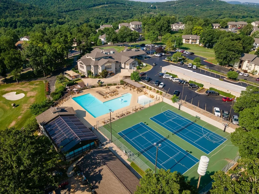
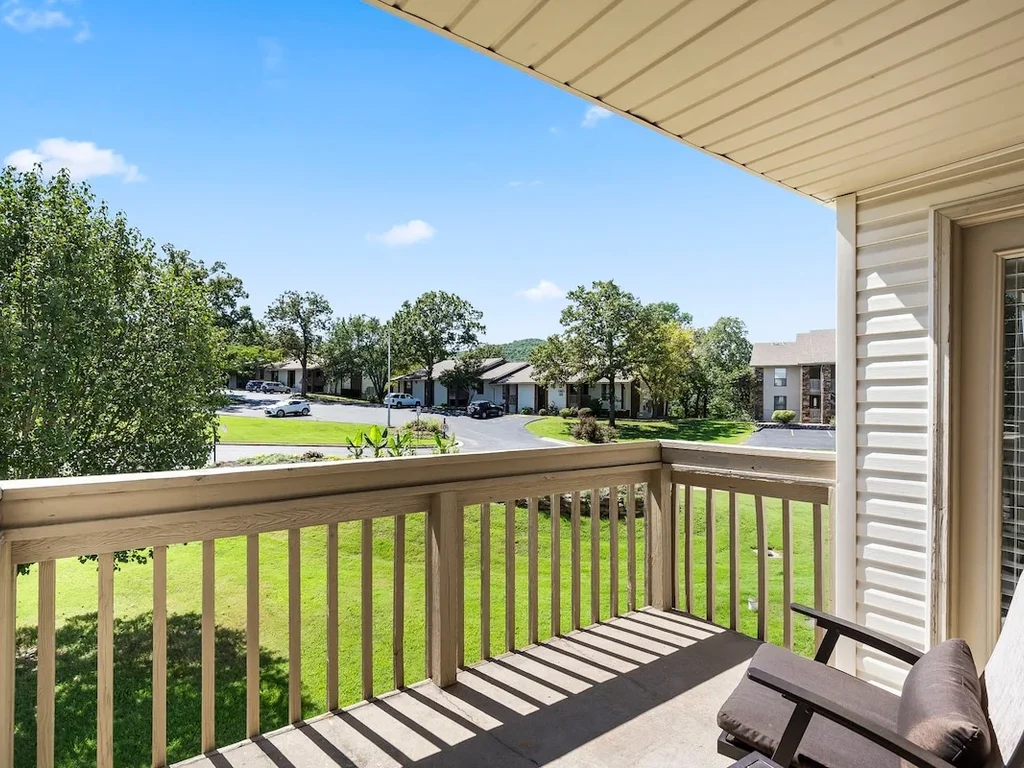
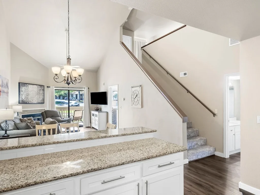
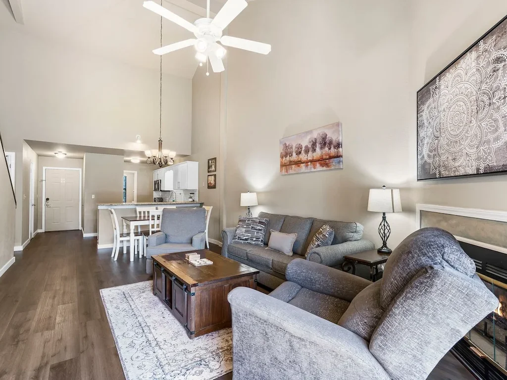
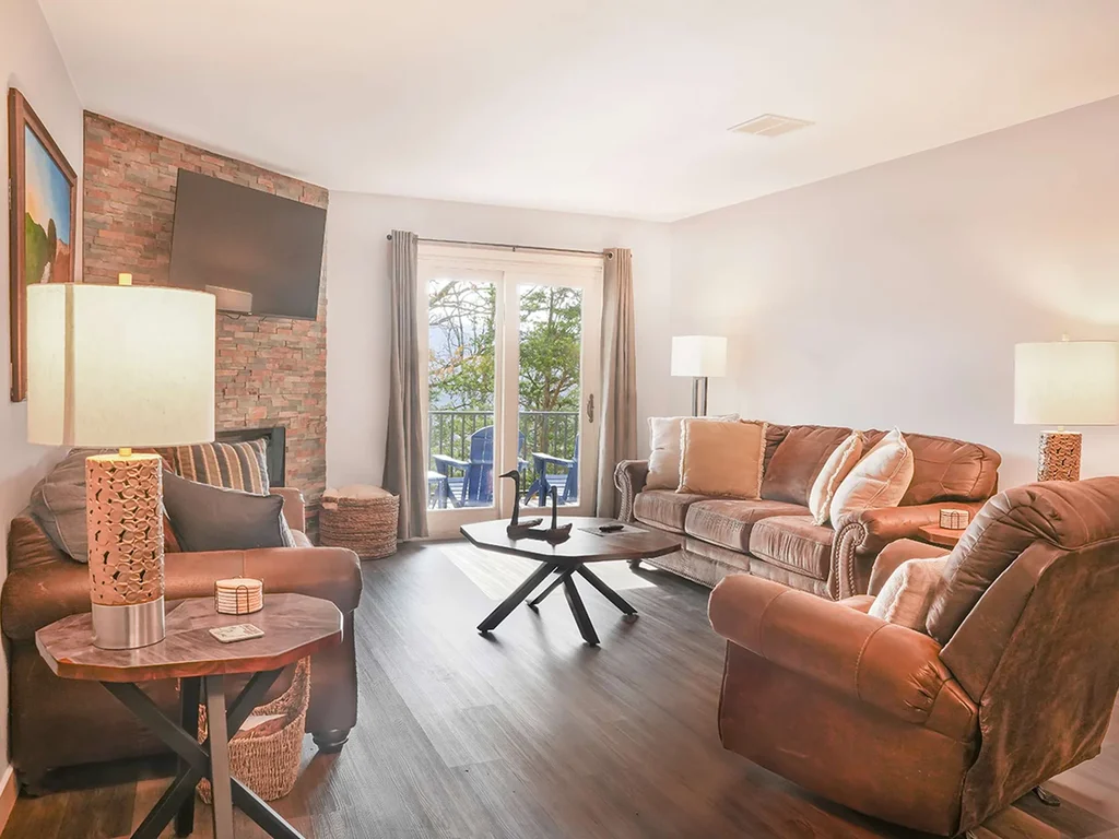
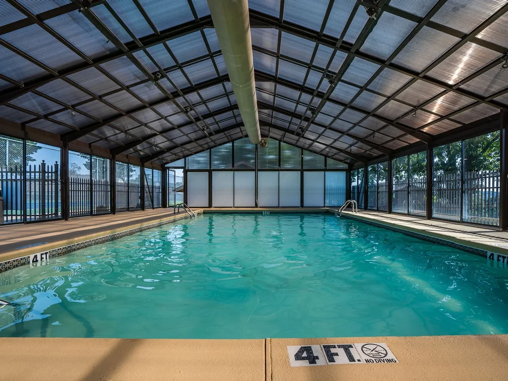
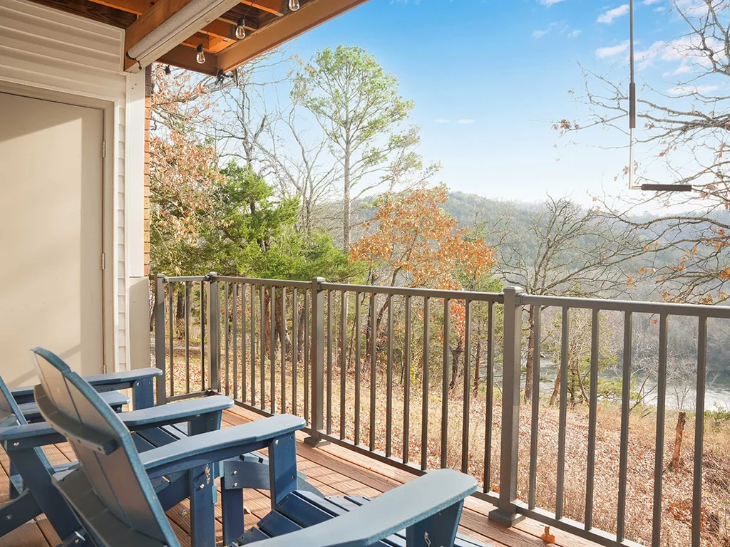
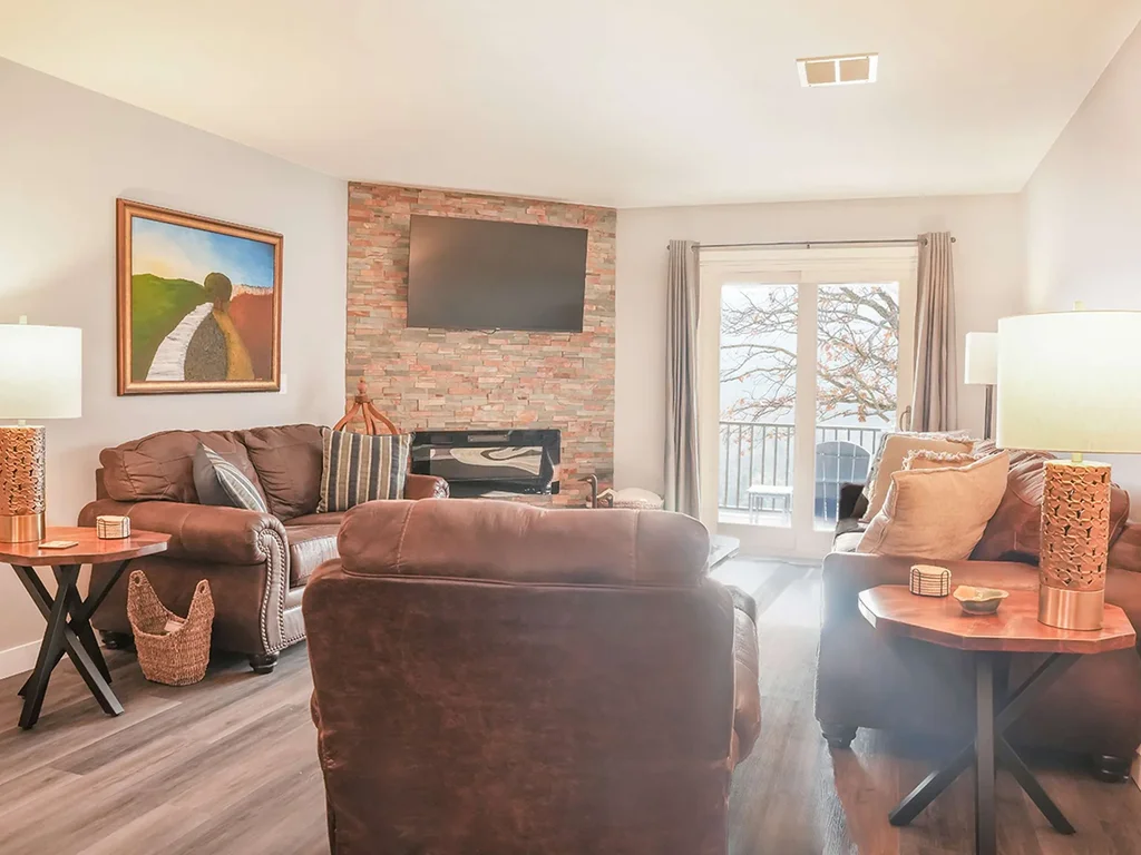
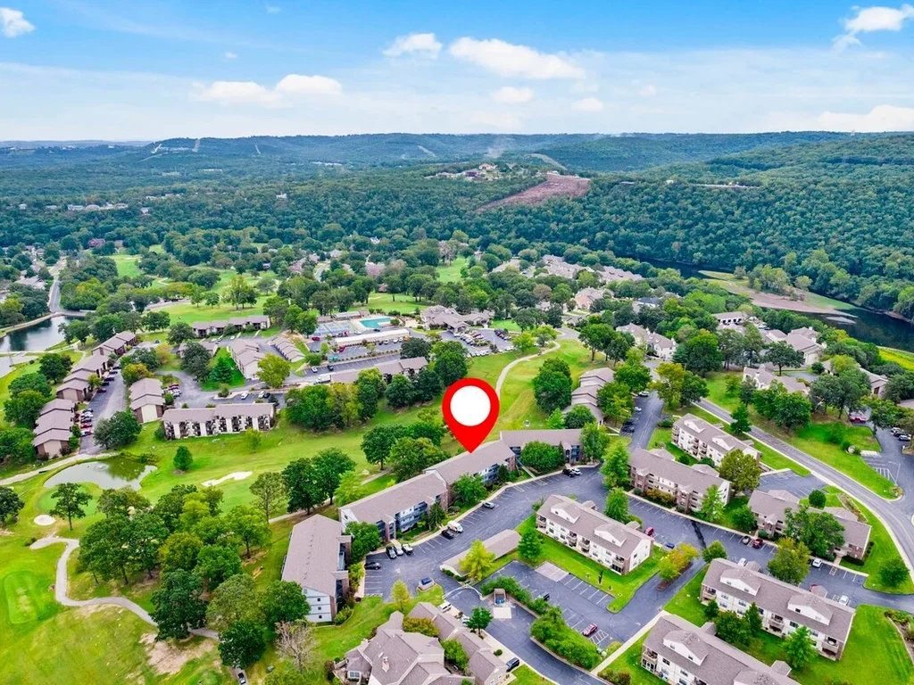
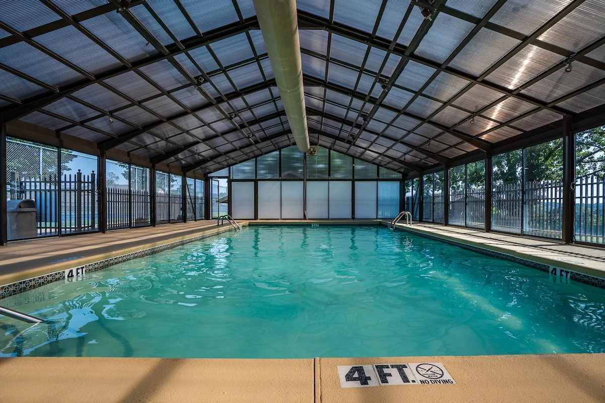
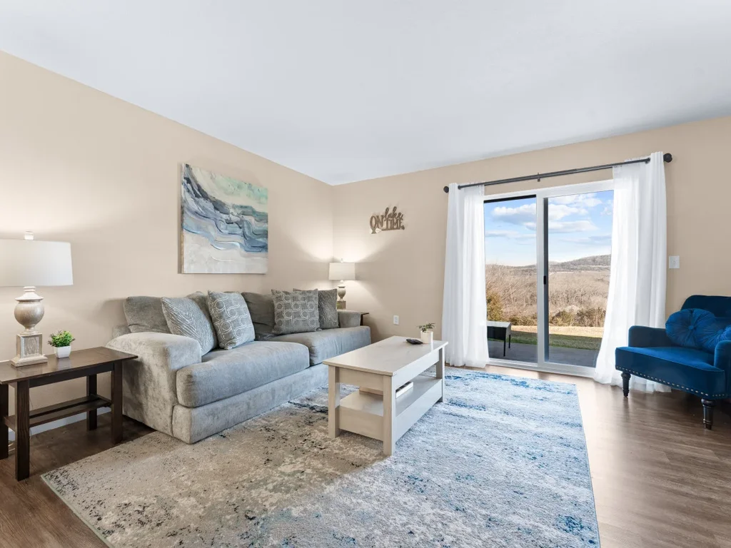
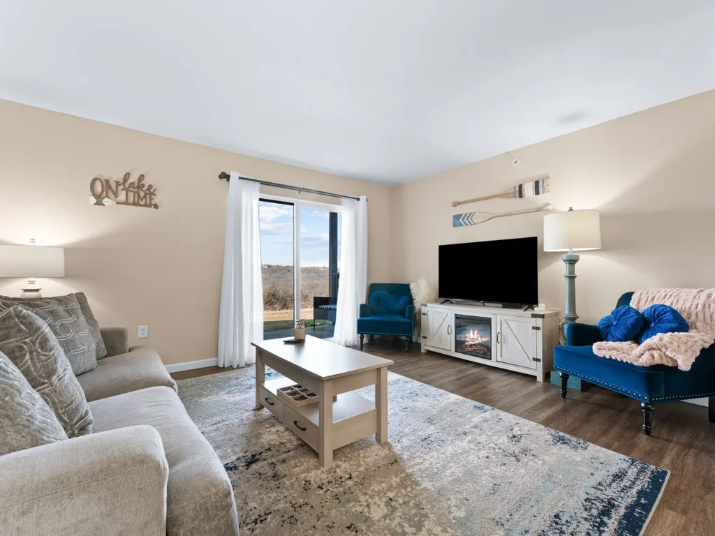
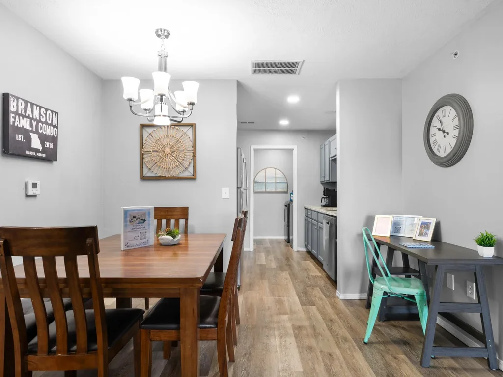
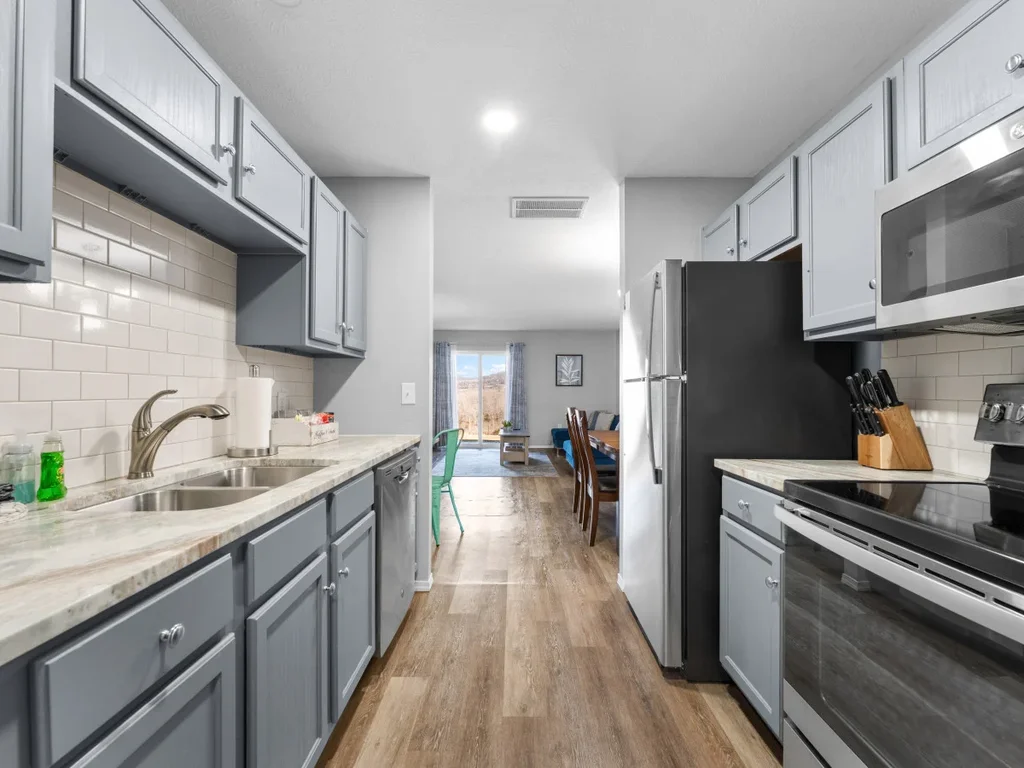
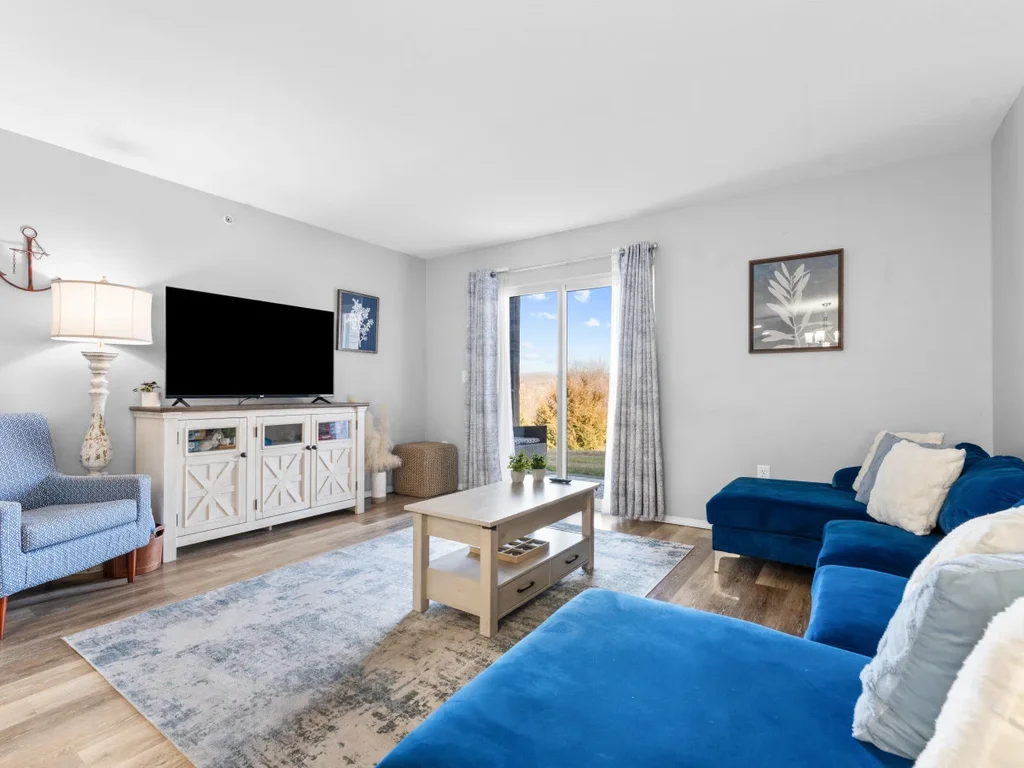
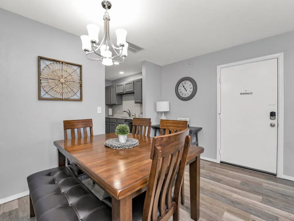
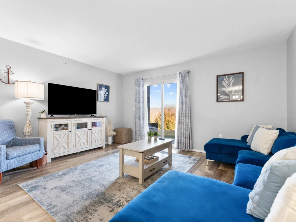
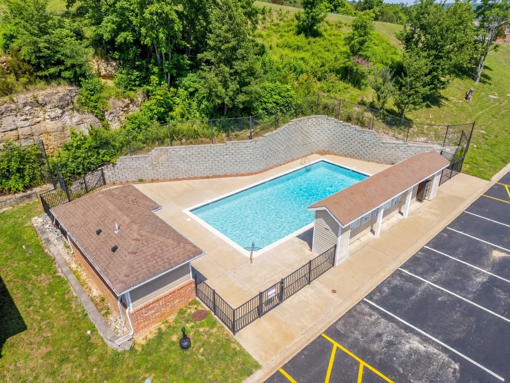
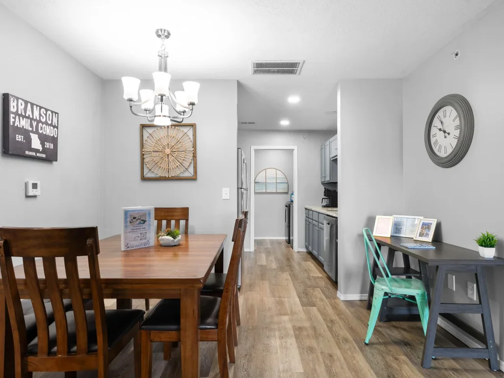
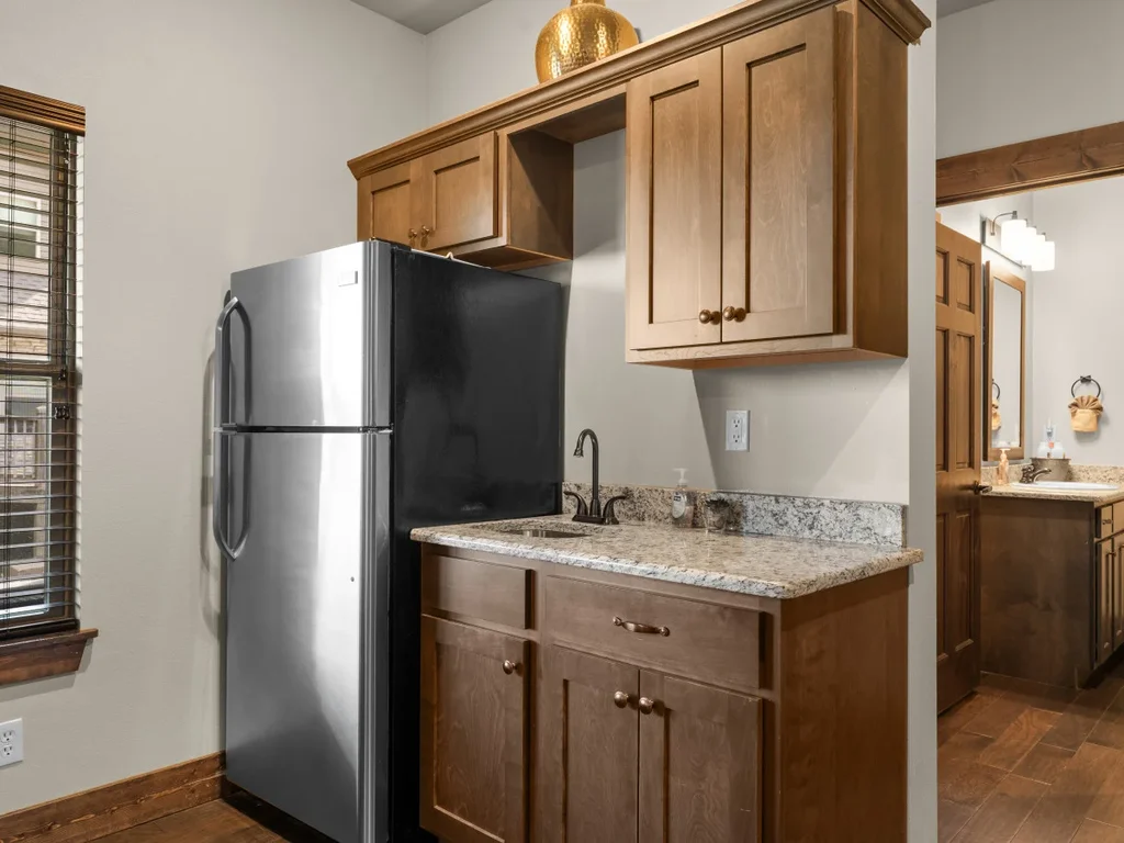
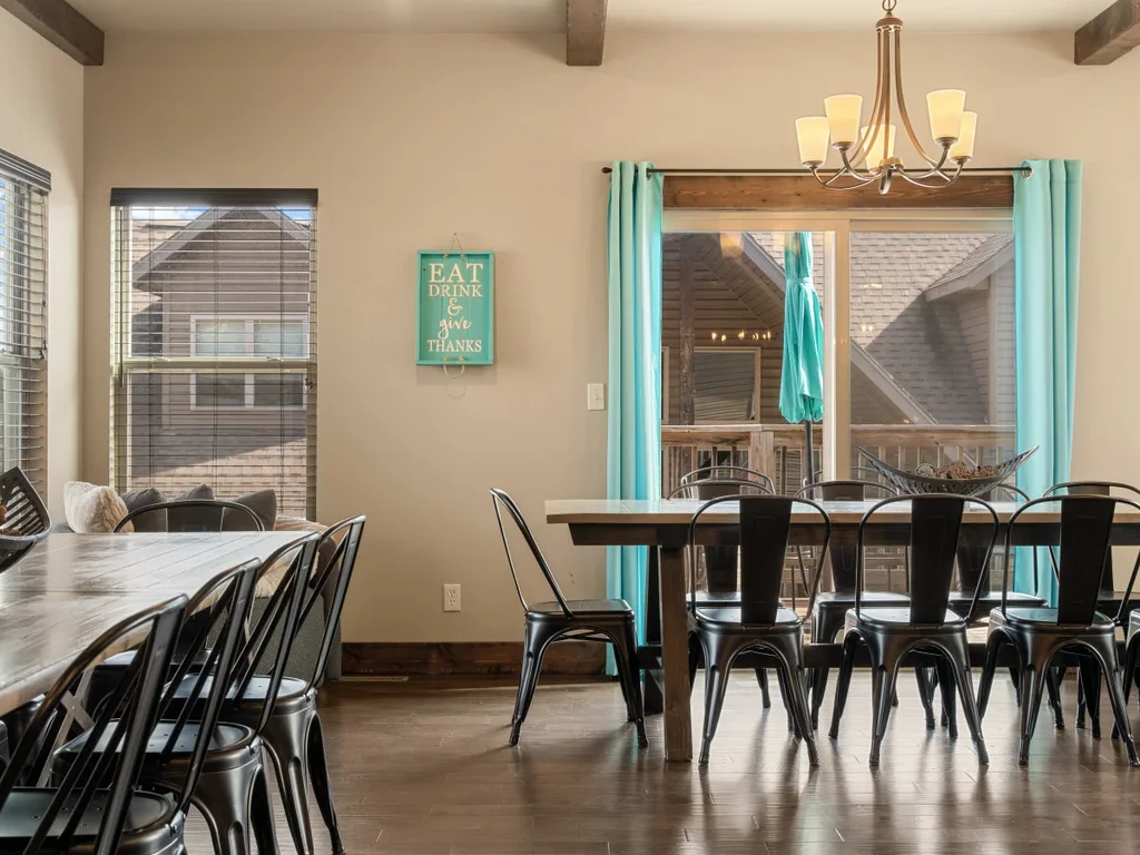
The right home base turns a string of scenic drives around Branson into an easy long weekend. A central rental near the lake corridor puts Highway 165, Route 86, and the road toward Ava all within easy reach, so you can chase color one day and lake views the next. With more than 600 rentals across the Branson and Table Rock Lake area, Branson Premier can place you within quick reach of every route in this guide. These three properties work as comfortable launch pads for the season.


Frequently Asked Questions
What is the best scenic drive near Branson for first-timers?
The Highway 165 lake loop is the best starting point. It runs just minutes from downtown Branson, covers about 8.4 miles, and strings together the Table Rock Dam Overlook, Table Rock State Park, and Point Lookout. You get classic lake-and-hills scenery without committing to a long day in the car, which makes it the easiest of the scenic drives around Branson to fit into a packed trip.
How far is the Glade Top Trail from Branson?
The Glade Top Trail sits in the Mark Twain National Forest near Ava, roughly an hour south of Branson. The most popular access point is about 20 minutes south of Ava. The byway itself is a 23-mile gravel road, so the full out-and-back takes a few hours once you factor in the slower pace and the overlook stops along the ridge.
When is the best time for a fall foliage drive in the Ozarks?
Mid-October into early November is the sweet spot, when oaks, maples, and hickories hit peak color. The first color appears in early to mid-September, and by mid-November most leaves have fallen. Because the exact peak shifts with the weather each year, check a current foliage report before planning a long scenic drive around the color.
Are the scenic drives around Branson paved?
Most are. The Highway 165 lake loop and Route 86 are paved highways suitable for any vehicle. The Glade Top Trail is the exception: it is a two-lane, all-weather gravel road. Most cars, including sedans, can manage it in dry conditions, but drivers should slow down for cattle guards and blind curves and avoid it after heavy rain in a low-clearance vehicle.
Do I need to pay to enjoy these scenic routes?
The drives themselves are free to travel. Highway 165, Route 86, and the Glade Top Trail cost nothing beyond fuel. Some destinations along the way, such as Dogwood Canyon Nature Park or the Inspiration Tower, charge admission for their trails, trams, or tower rides, so budget for those separately if you plan to stop and explore rather than simply drive through.
Ready to chase the color? Book a centrally located Branson Premier rental now and make this fall’s Ozark road trips your easiest getaway yet — start at bransonpremier.com/properties/.